Visiting today? Check in to get this park’s ranger alerts while you’re on the ground — and press its stamp into your passport.
Create an account to check in.
Create an account →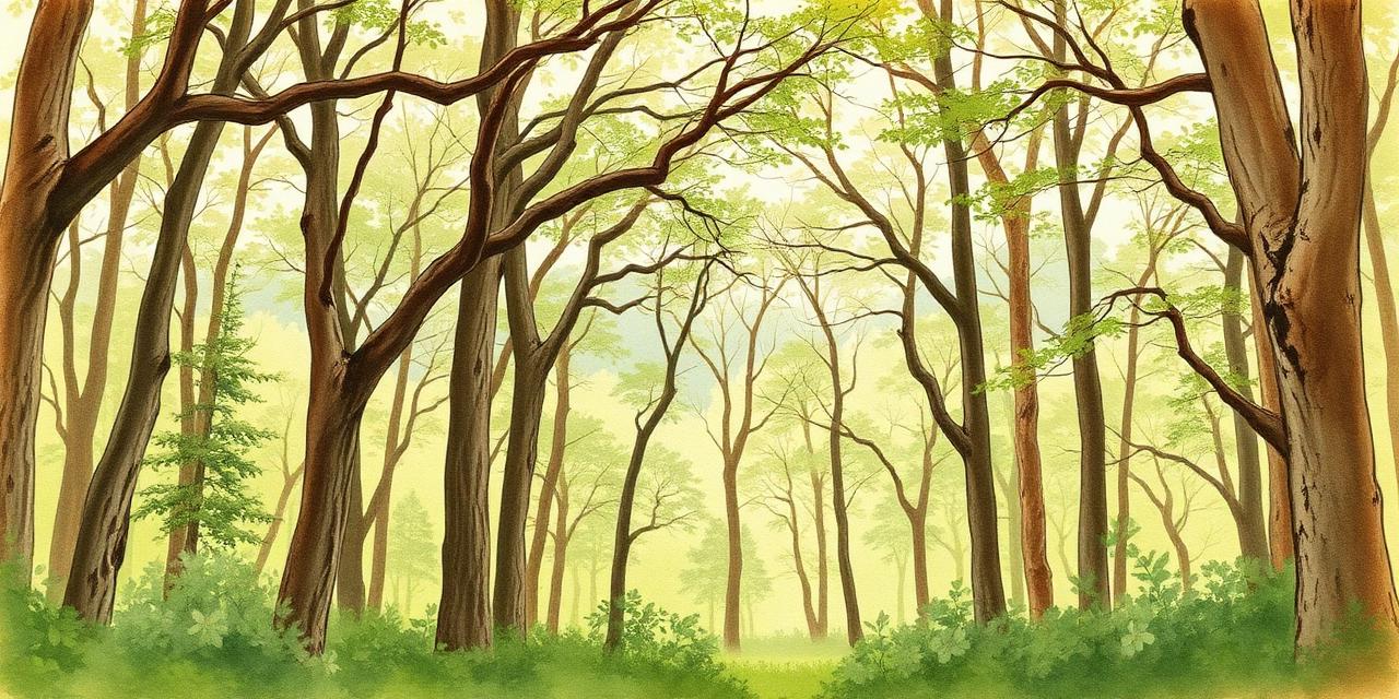
State park · Central · 10 mi away
A former army post inside Indianapolis, now paved trails, tulip-poplar woods and a creek corridor.
Loading map…
39.8697, -86.0111

Backyard biodiversity bingo
A nine-square checklist for a yard, schoolyard or city park.
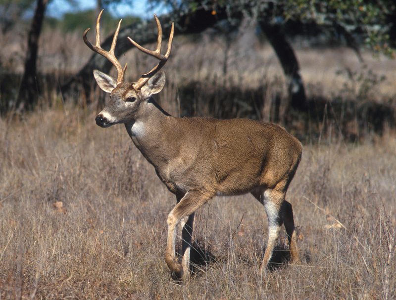
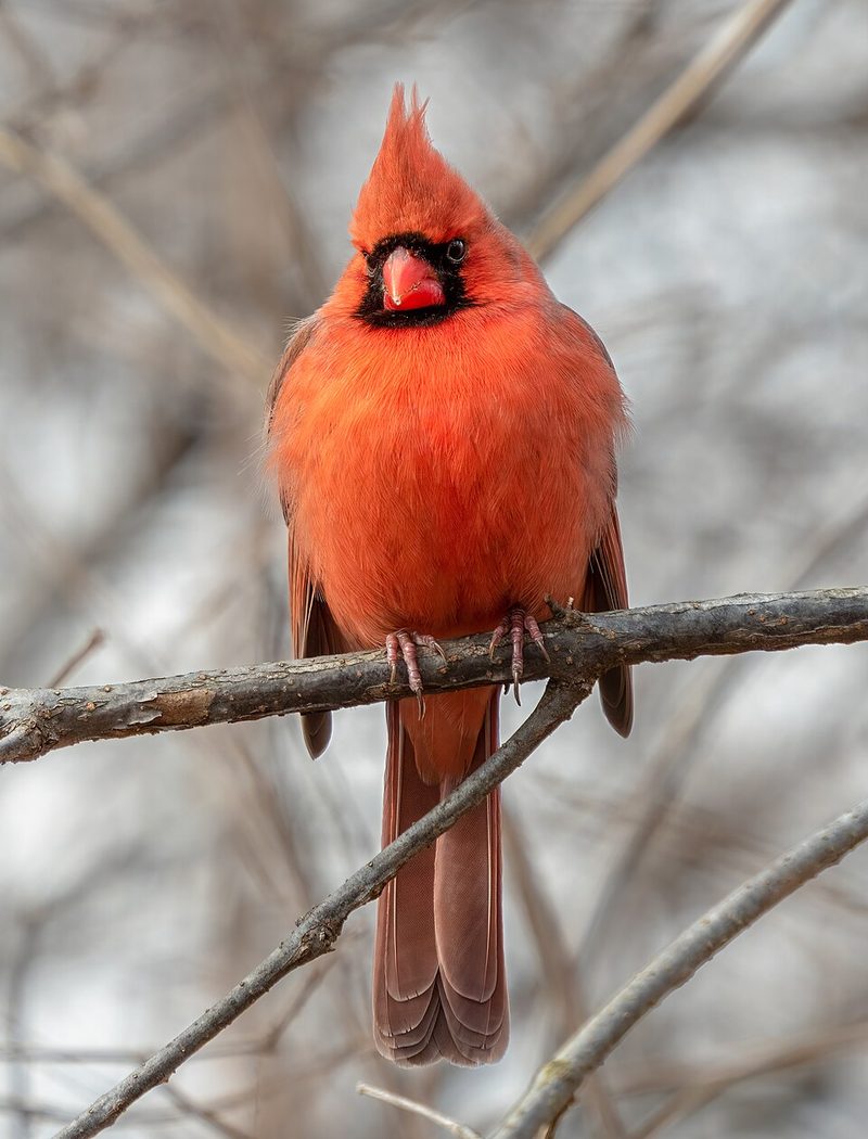
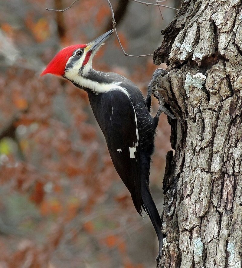
Find three signs without seeing the animal
Tracks, chewed cones, feathers, woodpecker holes — evidence counts.
Map, trails and species list
14 MB · not downloaded
Check seasonal closures and weather before you set out.
Ticks and poison ivy are common off-trail.
Stay on trail, keep your distance, and take only notes and photographs. If an animal changes its behaviour because of you, you are too close.
Source: Indiana DNR · Reviewed July 2026